Located really close to the end of the world, El Chalten was founded to beat the Chilean claim to land in the Patagonia region. Curious tourists continue to flock to El Chalten for its easy access to walking trails with spectacular views of Mount Fitz Roy and Cerro Torres.
The very helpful information centre at the bus terminal should be your first stop. You will most likely arrive here via bus from El Calafate ( connections to larger towns are available from El Calafate) or you may have flown in direct from Bariloche.
No matter how you arrived, be sure to check out the information centre as they provide basic trail maps and the all-important weather forecast. Check yourself into one of the many hostels or hotels in town and you are ready to get to the trails. All the trails listed below are easily accessed by foot from town and offers amazing views.
SALTO EL CHORILLO
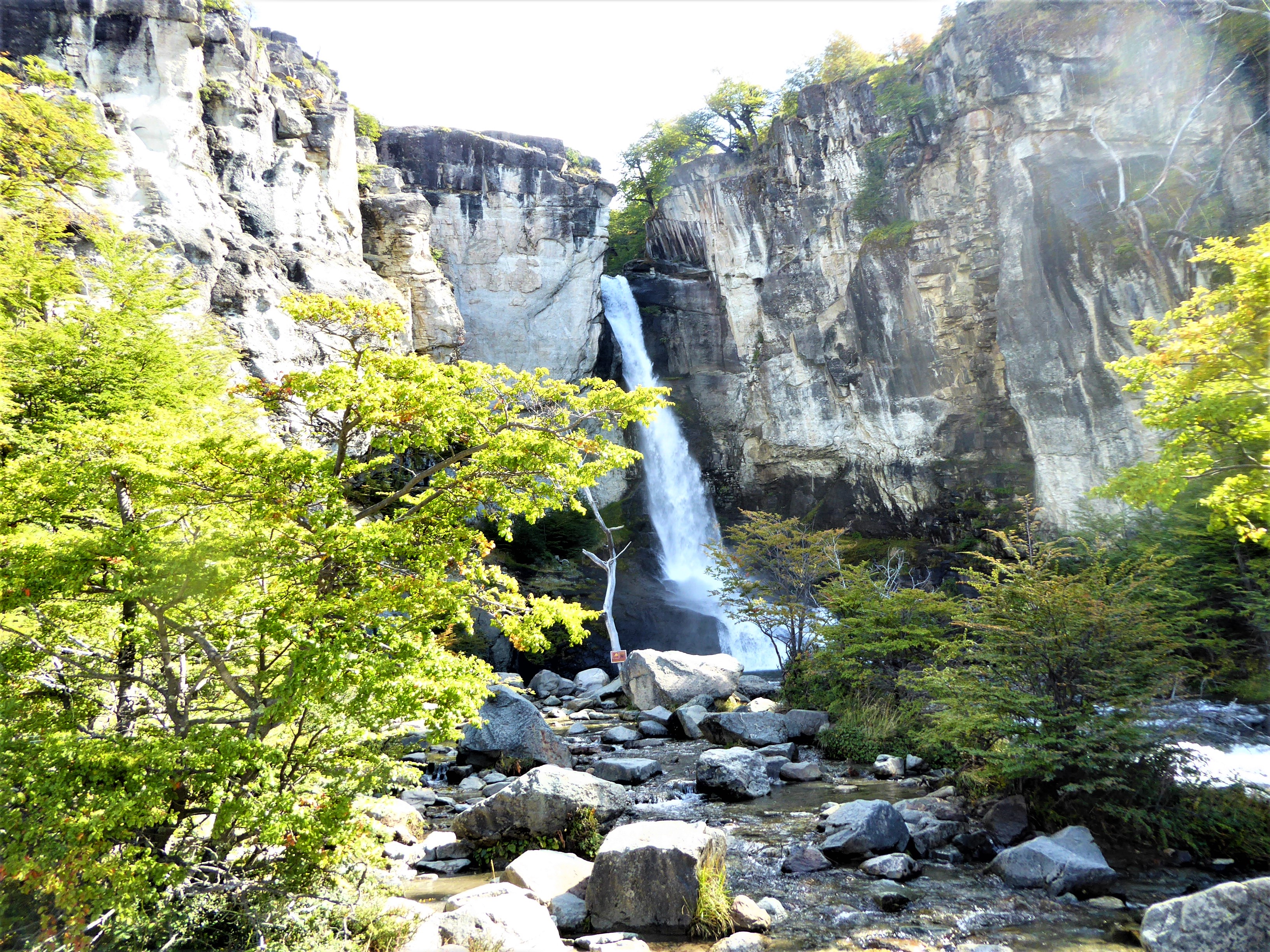
The walk to Salto El Chorillo, an impressive waterfall promises a big splash for a short stroll.
A 4 km walk on flat terrain, this is an excellent warm-up walk before tackling the longer trails in El Chalten. The 20m high waterfall roars loudly as it flows into the De las Vueltas River.
Yet, the atmosphere is tranquil and beckons you to spend an hour or two with a picnic of some delicious empanadas from Che Empanada in town.
Distance (return): 8km (3 hours)
Difficulty : Easy as the path follows mostly along the main road and is flat throughout.
LAGUNA TORRE
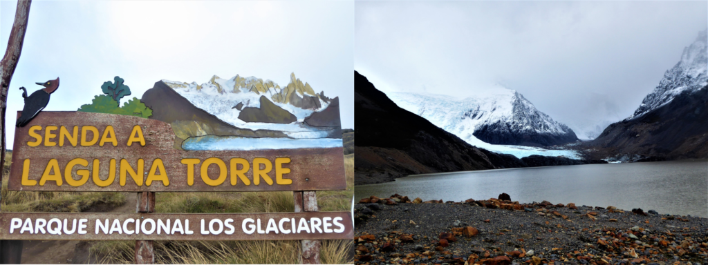
The walk to Laguna Torre is relatively flat and is dotted with magnificent views.
About sixty minutes into the walk, you will find the trail opening up into a flat landscape offering you panoramic views of the Cerro Solo, Adela range, Cerro Torre and the Fitz Roy mount.
However, this as it always does in Patagonia, depends on the weather. At the end of the walk, you will arrive at Laguna Torre with the mystical Cerro Torre presiding over it. Keep a lookout for glacial ice bergs breaking off into the lake.
Distance (return): 18km (4-6 hours)
Difficulty : Moderate. There is a 200m elevation but the path is generally gentle
LAGUNA CAPRI
Distance (return): 10km (3-4 hours)
Difficulty : Moderate. There is a 200m elevation climb.
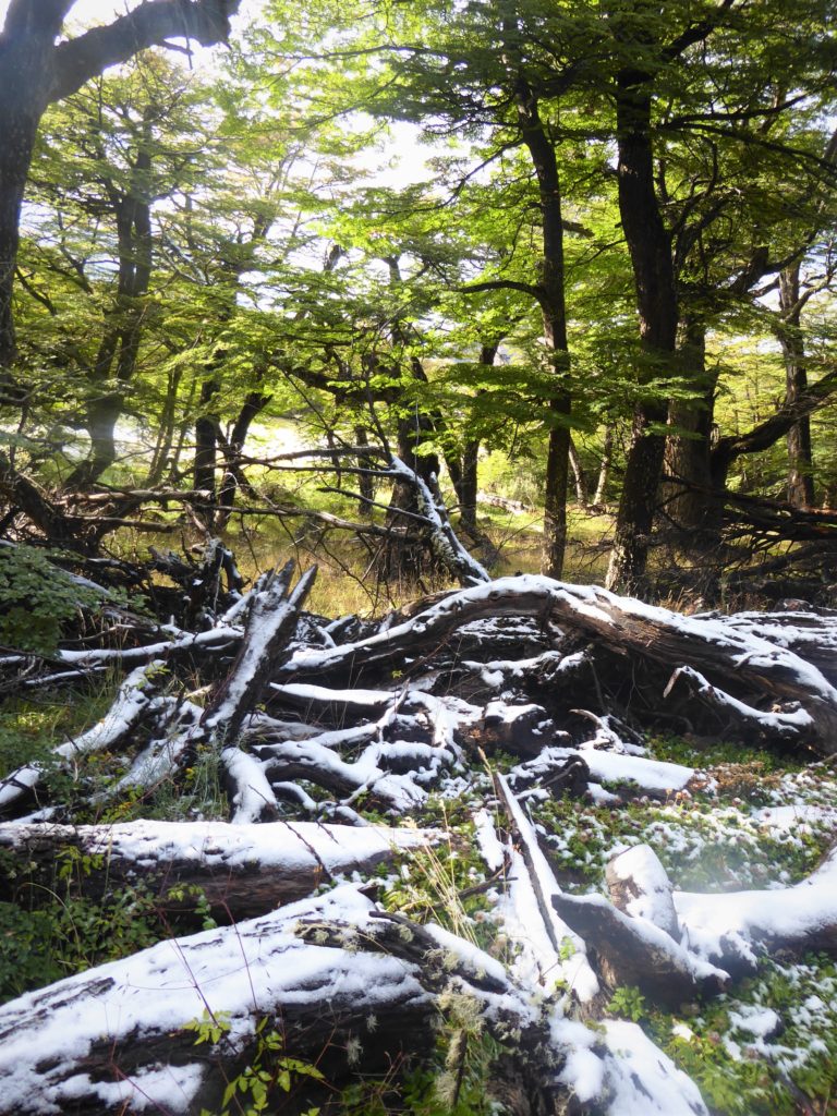
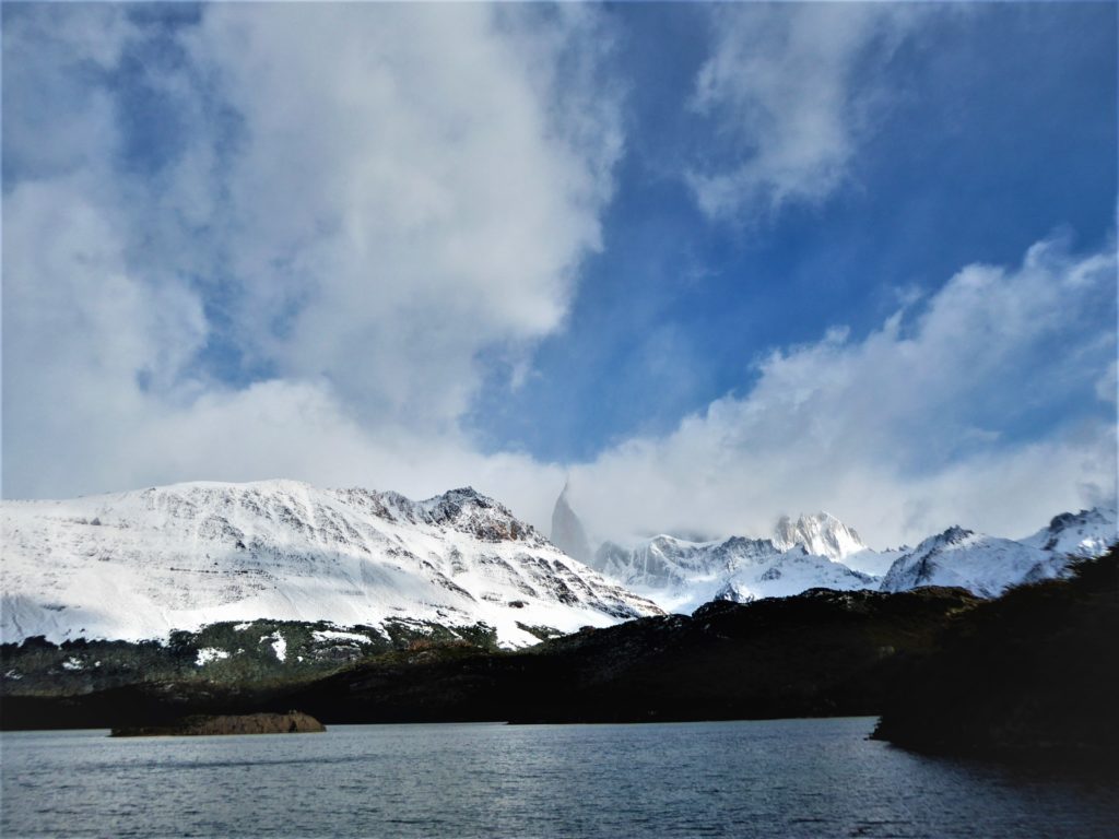
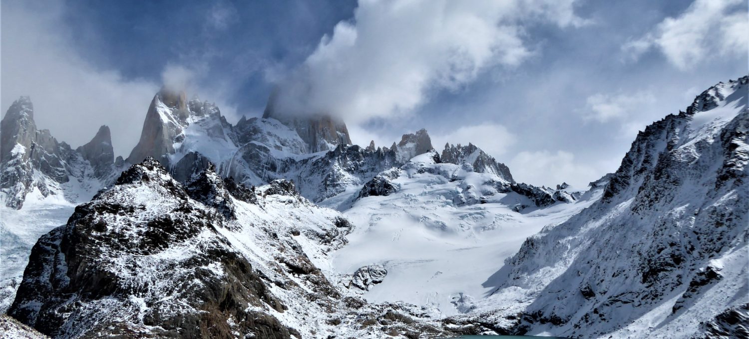
For a clearer view of Mount Fitz Roy at a manageable distance, follow the trail past Patagonian forests towards Laguna Capri where you will be able to catch a glimpse of the Fitz Roy massifs when the clouds part.
The path starts off very steep for the first 20 to 30 minutes but eases into higher elevations at a gentler gradient after. After the first steep section, you will find that the trail opens up to views of valley.
For easy access to sunsets and sunrise on Mount Fitz Roy, camp for free at the campgrounds at Laguna Capri. Early morning is also when there is the highest chance for clear skies which will earn photographers the prized shot of sunrise over Fitz Roy.
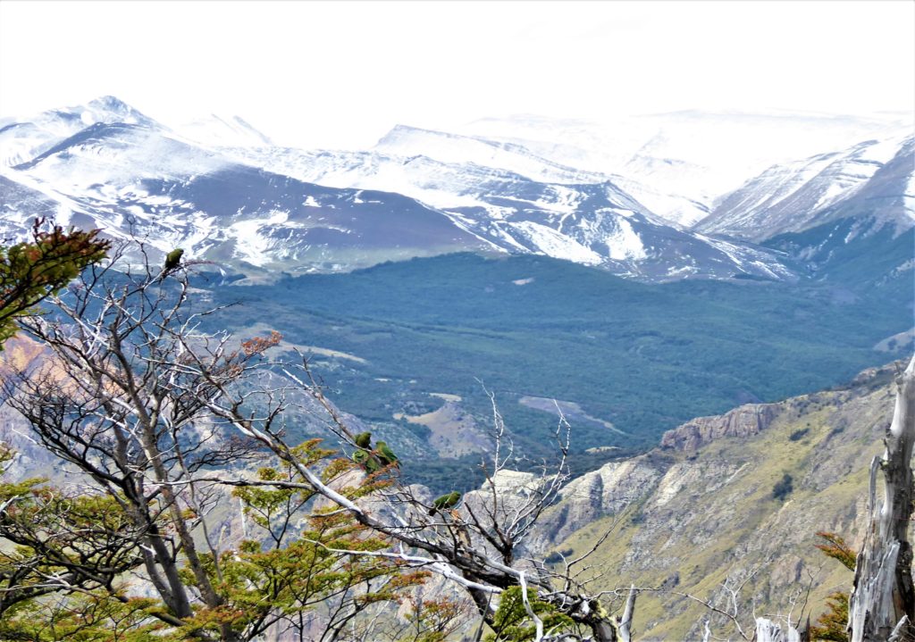
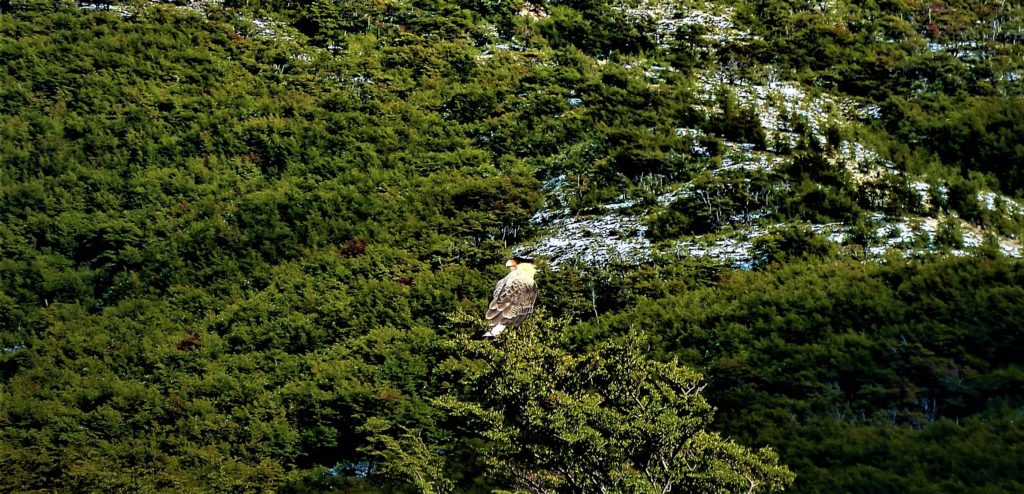
Stay hawk-eyed to spot the diverse birdlife hiding in the trees, as captured in the following 2 images:
LAGUNA DE LOS TRES

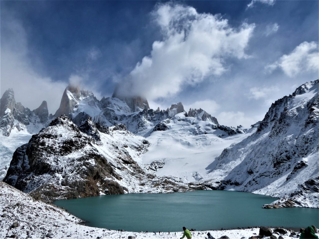
To undertake a truly epic trek, continue past Laguna Capri to Laguna de los Tres. The trail continues along a flat terrain taking you past more panoramic views of the mountain ranges as well as offering you a glimpse of a glacier.
The gentle trail comes to a halt after approximately three hours and climbs uphill steeply for one hour. The trail will take you a piercing blue lagoon and as close as you can to Fitz Roy without attempting to summit it. Estimate eight to nine hours for a return trip. It is also possible to do this as a 2-day trip by camping at Laguna Capri or Camp Poincenot.
Distance (return): 30km (8-10 hours)
Difficulty : Hard. There is a 1000m elevation climb.
SENDERO LOMA DEL PLIEGUE TUMBADO
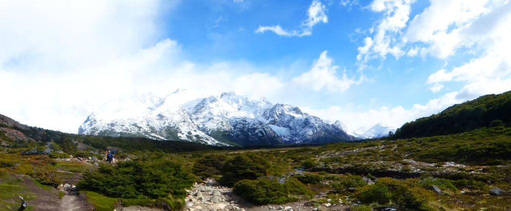
Offering similarly epic view as the trek to Laguna de los Tres, Sendero Loma del Pilegue Tumbado edges out on the account of its relative obscurity. Although the trail entrance is a five minutes’ walk from the main bus terminal, there are few hikers on this trail.
Lose the crowds here for an eight hours return trip past the valleys of Fitz Roy, Torre and Toro and the vast Lake Viedma. This area is also known for its occurrence of marine fossils which you can search for as you hike up.
Distance (return): 18km (7-8 hours)
Difficulty : Moderate. There is a 400m elevation climb.
0 comments on “Hiking Guide from the Patagonian Region Part II – Day Hikes from El Chalten”